Norkart add-on

Norkart for Archicad. Built for Norwegian projects.

Nordic BIM Group developed the Norkart add-on with Norkart, the Norwegian map-data company. Buy a package on Norkart e-torg, import it through the Norkart menu in Archicad, and keep designing on a placed, georeferenced site. Norway only, by design.

Available in Norway

Norwegian site data belongs in the model, not on the side

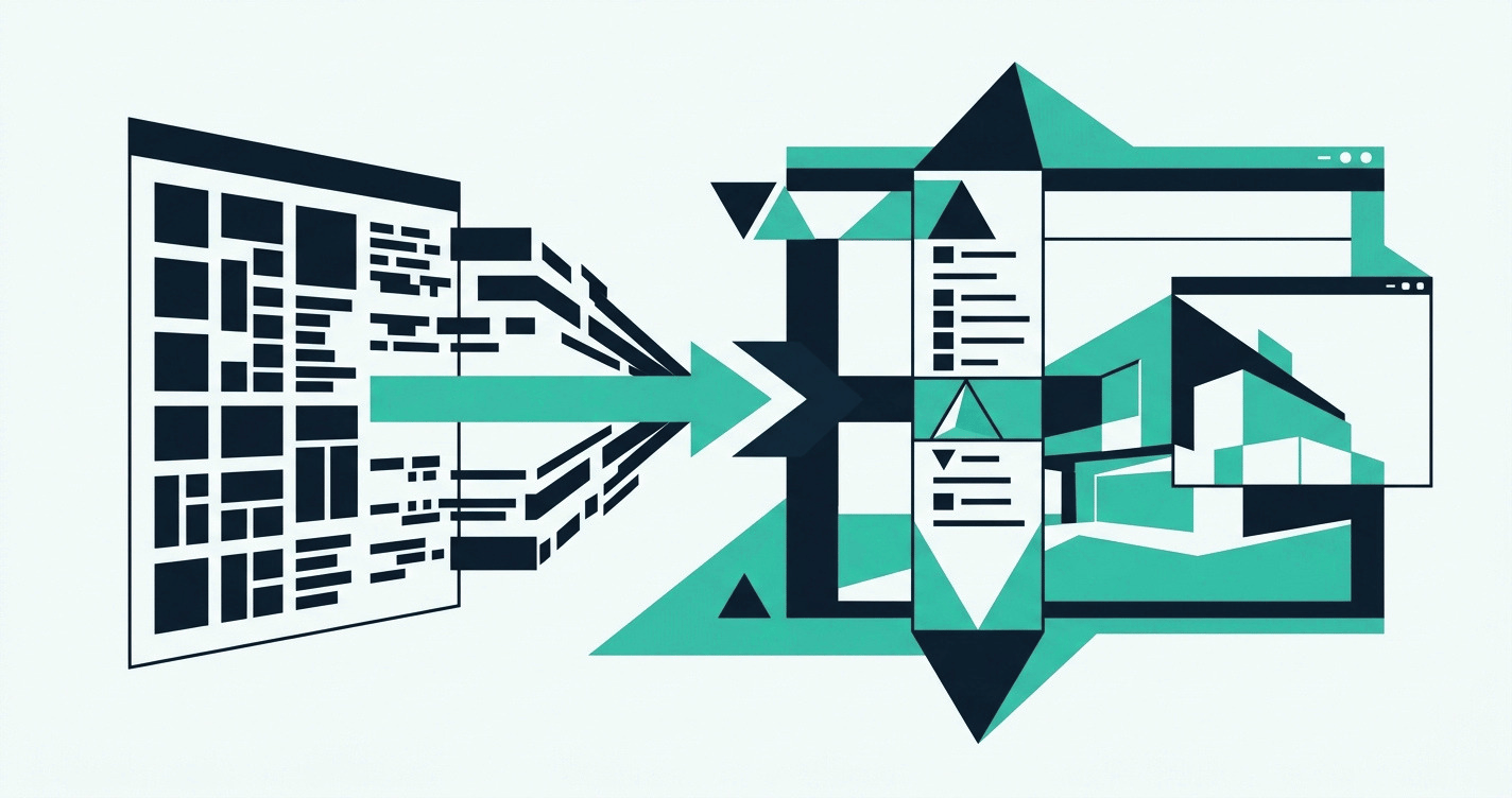
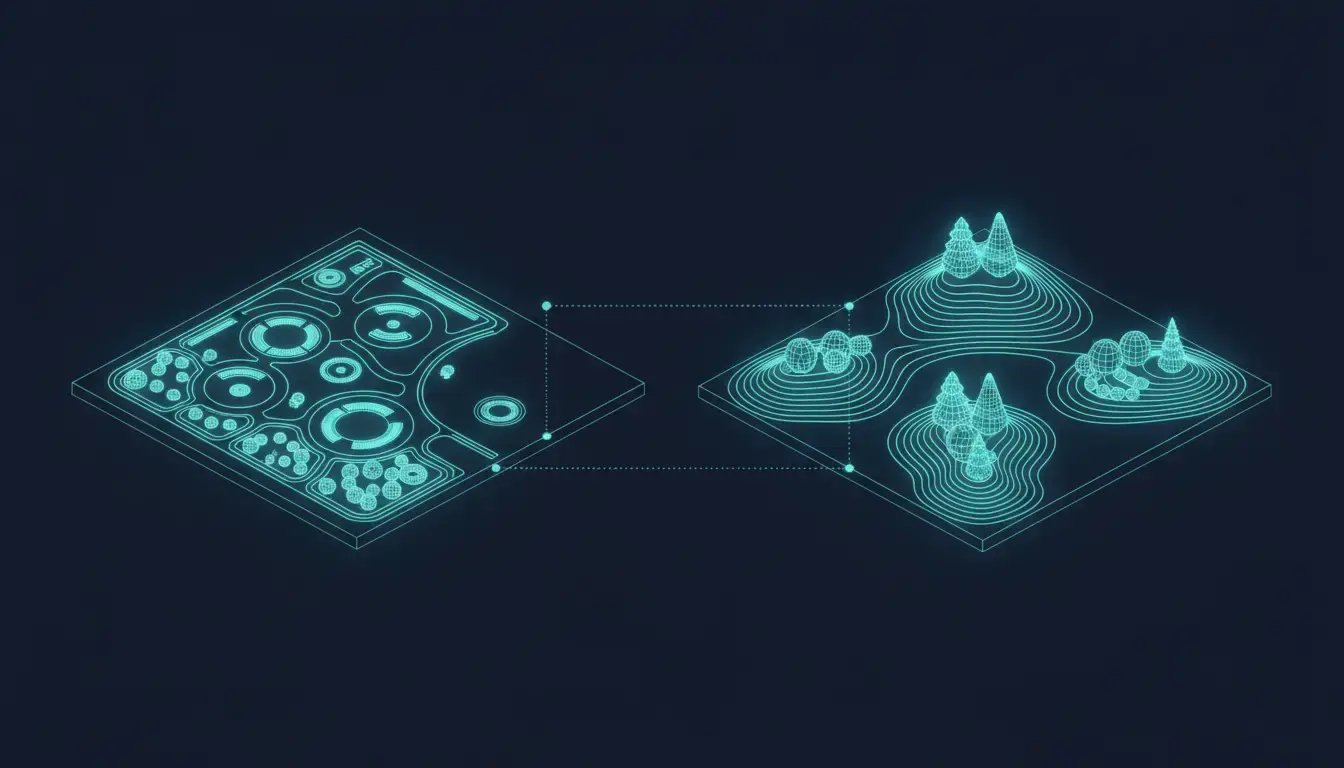
Building the terrain manually takes hours. Modelling the surrounding buildings takes more. Placing every tree, one by one, takes more again. The Norkart add-on collapses that work into a purchase on Norkart e-torg and a few clicks in Archicad. The terrain mesh, the buildings, the trees, and the orthophoto land in the file as Archicad objects, with the right coordinates already in place.

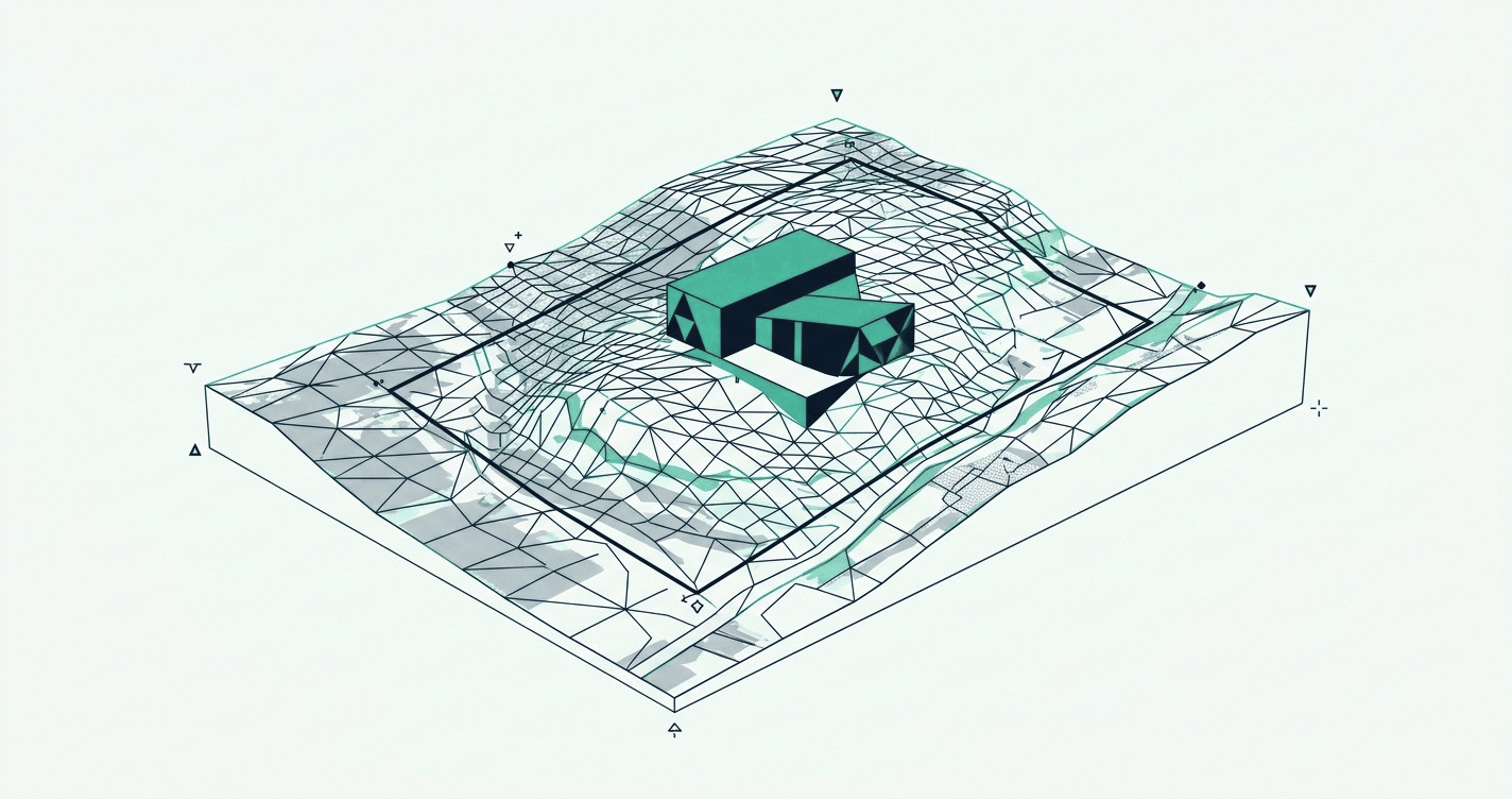
Hours of work to turn raw elevation data into a usable terrain mesh. Norkart delivers a ready 3D terrain per project, georeferenced and ready to design on.

LAND4_01_parallel_2d_3d_dark

From Norkart e-torg to your Archicad file

Norkart-map-package

1.
Pick a map package on Norkart e-torg

Three packages cover most projects: Archicad 2D basiskart, Archicad 3D-modell, and Arkitekt pluss. Choose the area on the map, pay Norkart, the data is ready to download.

Norkart-import

2.
Import through the Norkart menu in Archicad

Open the Norkart menu, select the package you just bought, confirm the import. The add-on handles the format conversion, the layer placement, and the project coordinates.

Norkart-ready-to-design

3.
The site lands in the file, ready to design on

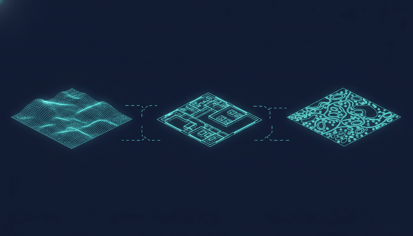
Terrain mesh, orthophoto, property boundaries, vegetation, and neighbouring buildings sit in your Archicad file. World coordinates are already set. No second tool, no separate viewer.

What the add-on puts in your Archicad file

Nordic-BIM-Group-Icons-Dynamic-Terrain
3D terrain and 2D map, ready to design on

Ready 3D terrain mesh and FKB base map from Norkart, placed in your Archicad file. No manual terrain modelling. No format wrangling.

Nordic-BIM-Group-Icons-landscape-architect
Buildings and trees as Archicad objects

Surrounding buildings and individual trees come in as parametric Archicad objects, not flat mesh. Trees carry species, size, and Level of Detail controlled through Model View Options. In both Standard and Arkitekt pluss.

Nordic-BIM-Group-Icons-Landscape-Volumetric
Orthophoto on the terrain

Orthophoto draped automatically on the terrain mesh as a surface. Full-resolution orthophoto comes with Arkitekt pluss; the Standard package ships with a low-resolution version, upgradable.

Nordic-BIM-Group-Icons-Integrations
Georeferenced coordinates, automatic

Latitude and longitude on the Project Location. Easting and Northing on the Survey Point. CRS per IFC4. Sun and shadow analysis and IFC export carry the right world coordinates from the start.

For Norwegian architects, BIM coordinators, and house builders

The add-on is for design teams working on Norwegian land. Architects designing on real terrain. BIM coordinators handling municipal data and project coordinates. House builders showing the home on the plot to customers and authorities. Multi-discipline practices that want the site and the building in one Archicad file.

If your work touches FKB or SOSI data, property boundaries from the kommune, or an IFC export that has to carry the right CRS for Statsbygg or e-byggesøk, the workflow fits inside Archicad without a separate GIS step.

Norkart-who
norkart-integration

A Nordic BIM Group integration with Norkart

The Norkart add-on is Nordic BIM Group own development, built with Norkart for Norwegian Archicad customers. Norkart sells the map data through e-torg. Nordic BIM Group developed the bridge that brings that data into Archicad as a native part of the design workflow.

The add-on lives in the Archicad menu. Buildings and trees arrive as parametric Archicad objects, not flat mesh. Coordinates set automatically. IFC and DWG exports carry the right CRS for Statsbygg and e-byggesøk. Nordic BIM Group is the exclusive Archicad partner across the Nordics, which means one local team handles the Archicad licence, the add-on, and the training around it.
Setup, training, and a local team on the Archicad side

Nordic-BIM-Group-Icons-Implimentation-Snow

Setup on your first project

Nordic BIM Group walks the team through the first Norkart import on a real project area. Coordinates, layers, packages, and project standards covered in one session.

Nordic-BIM-Group-Icons-elearning-snow

Norwegian video tutorials and training

Short Norwegian video tutorials walk through import settings and the standard and Arkitekt pluss packages. In-language training on the full workflow runs in-person, online, or on demand. Watch the tutorials.

nordicbim_support_white

Local team you can call

When an import behaves unexpectedly, Norwegian-speaking Nordic BIM Group support picks up. Map-data questions route back to Norkart through the same line.

Bring the Norwegian site into the Archicad file

A Nordic BIM Group specialist walks you through the Norkart add-on on your own project area, in Norwegian.

Frequently asked questions

Nordic BIM Group developed the add-on with Norkart, specifically for the Norwegian market. The add-on is Nordic BIM Group's own development. Norkart provides the map data through e-torg. Together the two parts make a single workflow inside Archicad.