Model terrain, surfaces and planting in the same file as the building. Nordic BIM Group is the exclusive LAND4 partner across Norway, Sweden and Finland.

Mechelininkatu 23
ArchicadArchitecture
Landscape work often runs on its own track. The 3D model lives in one tool, the 2D plans in another, the volumes in a spreadsheet. The building and the landscape barely share a file. When the terrain changes, every other view gets out of step.
LAND4 collapses that into one BIM model inside Archicad, with the landscape and the building side by side.
Landscape designers keep a 2D plan and a 3D model in separate tools, then reconcile them by hand. Every revision multiplies the work.


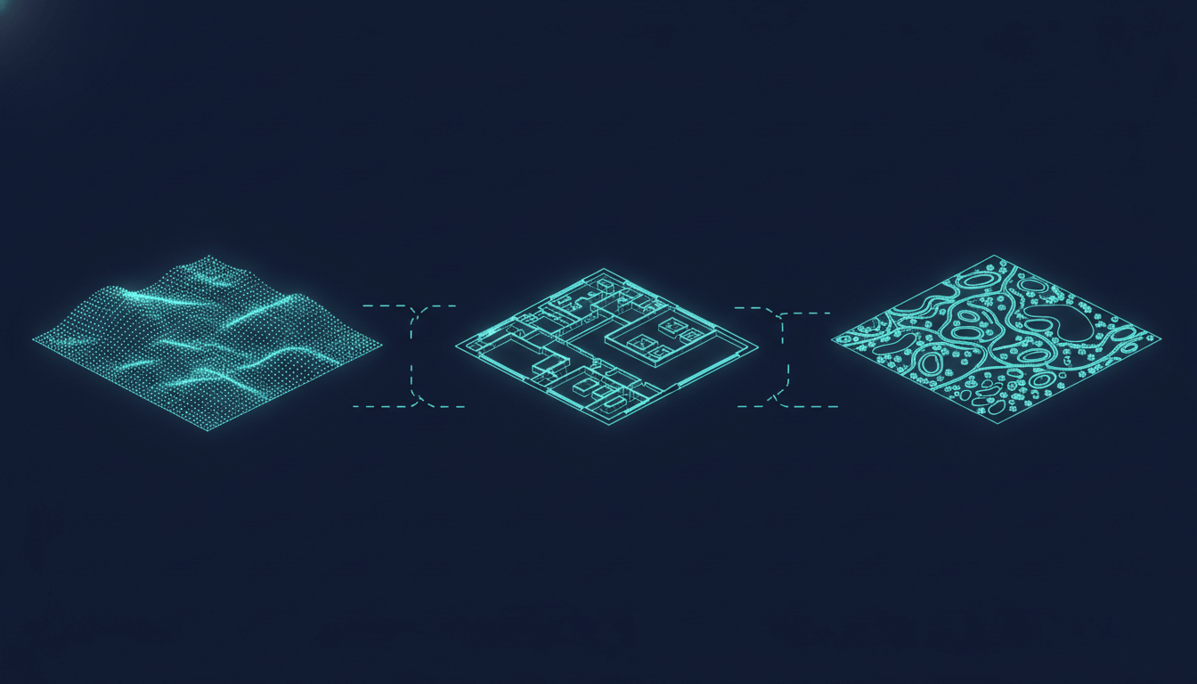

Import surveyor data as Spot Levels. LAND4 supports LandXML, CSV, TXT, XYZ and SOSI. Generate a LANDSurface in a few clicks and start designing from real coordinates.
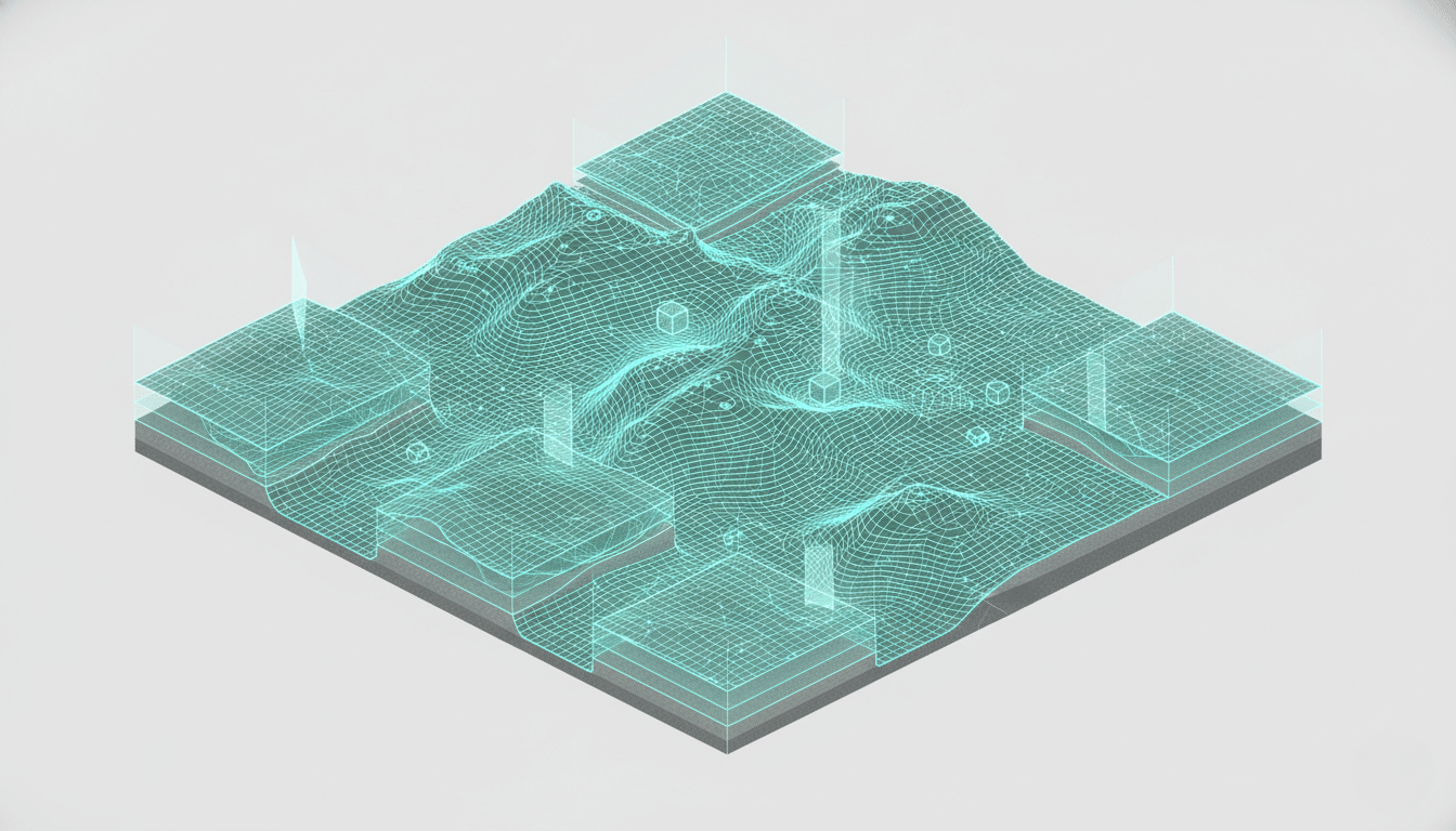
Shape the LANDSurface with Contour Lines, Ridge Lines and Spot Levels. Assign LAND4 Composites to drive volume schedules. Run Volumetrics for gross, fill and cut.
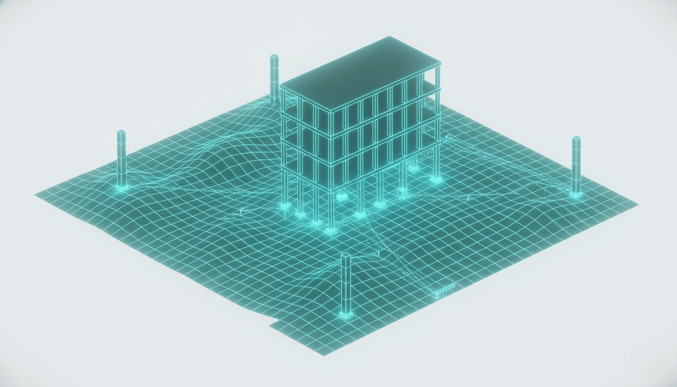
Connect Archicad objects, columns, polylines and Spot Levels to the LANDSurface. Heights follow the terrain. Move the surface. The building and planting elements move with it.

Spot Levels, Ridge Lines, Contour Lines and LANDSurface work as dynamic objects. Edit one, the rest update automatically.
Assign building-material composites to a surface. Volume schedules update when the surface or the composite changes.
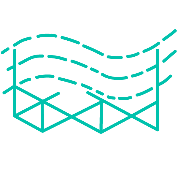
Compare two LANDSurfaces in seconds. A Volumetrics Stamp drops the numbers on the drawing. Section views show CUT and FILL directly.
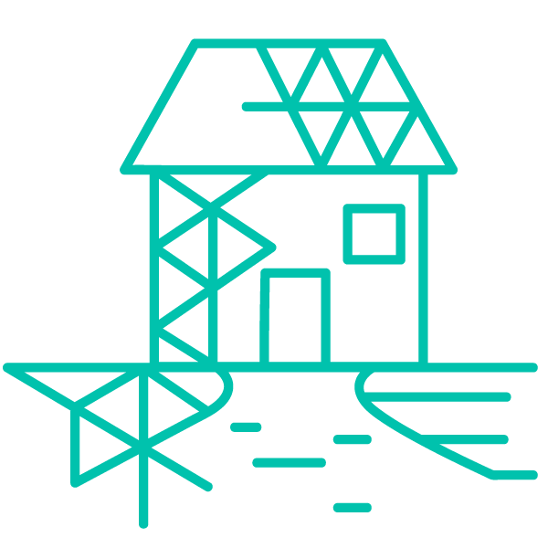
Connect Archicad objects to the LANDSurface and let height follow. Undrape and offset functions add control when you need it.
LAND4 is for landscape architects, landscape designers and architects who handle outdoor design as part of broader projects. It fits practices already working in Archicad and practices considering BIM for landscape work for the first time, from dedicated landscape studios to multi-discipline firms and public-sector design teams.
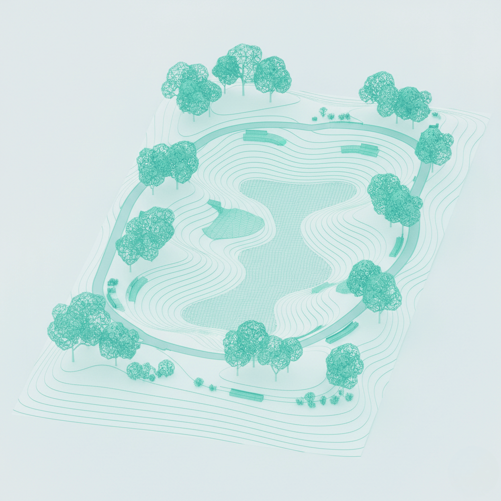

LAND4 is built on top of Archicad as a landscape extension. Landscape designers stay in the BIM model where the building lives. Surveyor data comes in via LandXML, CSV, TXT, XYZ and SOSI. The model shares out via LandXML, IFC and BIMx.
Both licences sit with one local team and one local invoice. Land Software A/S develops LAND4. We deliver it where you work.

We set LAND4 up against your terrain data sources, your project standards and the way your team already works in Archicad. You get a working landscape practice, not just a licence in your inbox.

Local-language onboarding on LAND4 inside Archicad. Land Software A/S also runs a free course in English; we layer Norwegian, Swedish or Finnish guidance on top for teams that want a structured rollout.

Around 20 Archicad specialists you can call in Norwegian, Swedish or Finnish. The same people who answer the Archicad questions answer the LAND4 questions.
Mechelininkatu 23

Tampere Art District
See how Nordic teams design with Archicad, from single buildings to full sites.