Industries / Landscape Architects

BIM for landscape architects, built for the Nordics

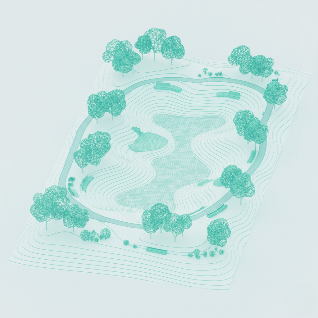
You shape the ground between buildings, the terrain, the surfaces, the planting. While the rest of the industry moved to 3D and BIM, landscape often stayed in 2D, handing over a green surface with little more than height on it.

Archicad with LAND4 changes that. Your terrain, materials and planting live in one model the whole team can build on.

We are the exclusive LAND4 partner across Finland, Norway, and Sweden, and the exclusive Archicad partner too. One local team stands behind the whole landscape stack.
LAND4_07_built_for_outdoor_design_light

What landscape practices are up against

Most landscape teams run into the same friction. Here is where the working day gets harder than it should.

Nordic-BIM-Group-Icons-Landscape-Building
Catching up on 3D and BIM

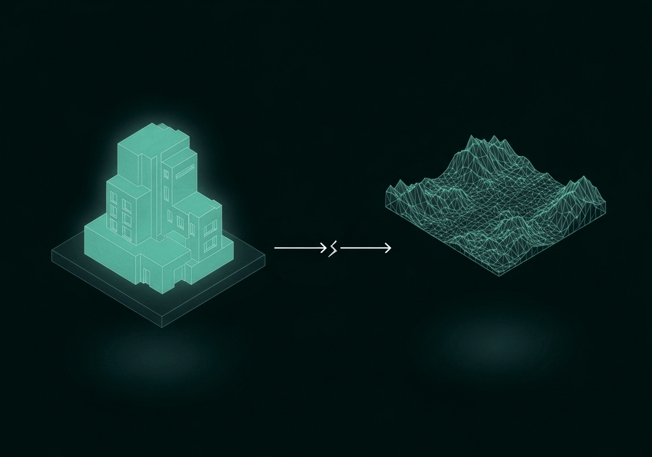
The whole building industry works in 3D, and landscape has had to catch up. A flat drawing or a plain terrain mesh cannot carry the design you actually have in mind and it cannot be reused by anyone downstream.

Nordic-BIM-Group-Icons-Landscape-Volumetric
Working from real site data

Real projects start from real ground. Survey data, existing terrain, grading, cut and fill across several levels. Rebuilding all of that by hand, in a separate tool, costs you time before the design even begins.

Nordic-BIM-Group-Icons-team
A model the whole team can reuse

Your landscape model has to sit next to the building model and survive every handover. When it arrives as a green shell with no material or information, the next discipline cannot use it, and someone rebuilds it.

Nordic-BIM-Group-Icons-LCA-numbers
Sustainability and staying competitive

Tighter fees leave no room for waste or rework. Precise material and volume control lets you design more sustainably and stay profitable on the same project.

Where BIM fits in landscape design

Good BIM is not about the software.

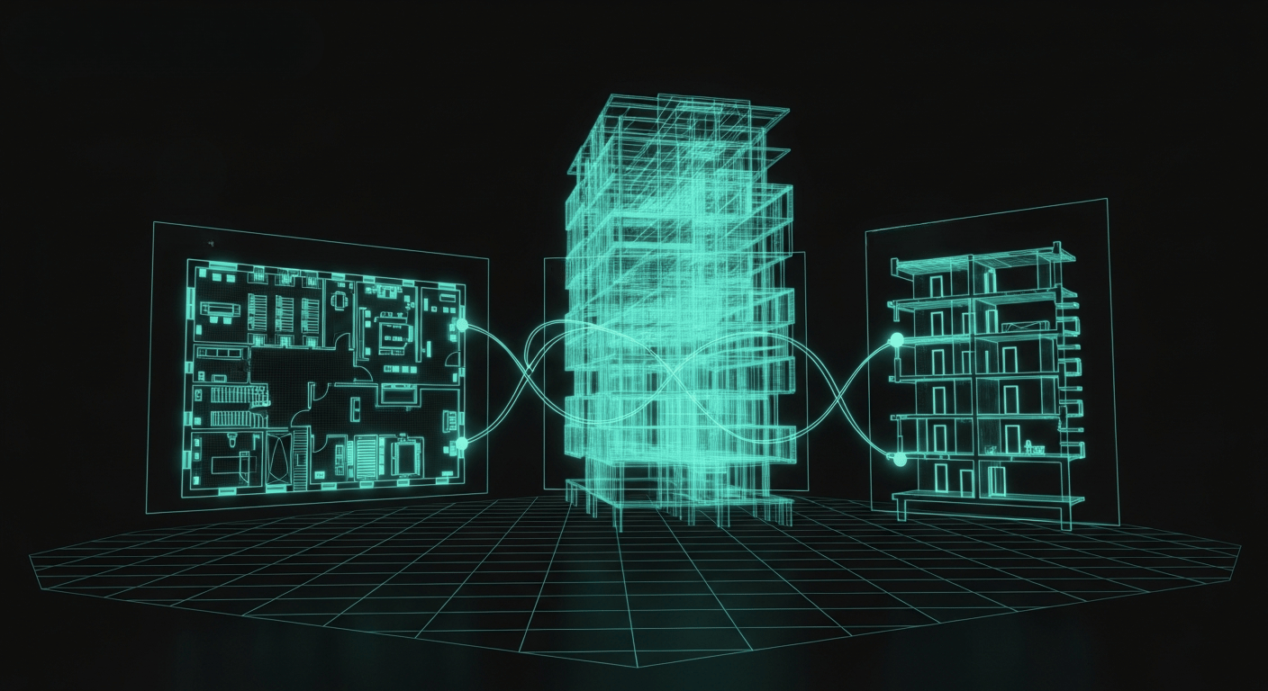
It is about decisions that hold up: a landscape model your whole team can build on, and information that survives every handover.

Here is how that works in practice, from the survey to the finished site.

From a real site to a model others can reuse

LAND4 is the landscape extension for Archicad. It brings terrain, surfaces and planting into the same model the building lives in, so you design from the real ground up.

Start from real data. Import survey points and terrain through open formats like LandXML and build your working surface from them. In Norway, the Norkart add-on we built brings national map data straight into Archicad, georeferenced for you, so the ground under your design is correct from the first day.

Sketchup-problem-friction

Coordinate, document, and deliver

A landscape model is only as good as what survives delivery. The second half of the job is working alongside the rest of the team, sharing the design clearly and keeping it useful long after handover.

With BIMcloud your whole team works in the same project at once, landscape and building side by side, from any office or from home. The model travels through open formats like IFC, so what you design arrives intact at the next desk instead of being rebuilt.

Bimx-screen-shares

Software for landscape architects, curated not catalogued

A short, honest list of what landscape practices actually use. Not the full catalogue, just the tools that earn their place.

Land4-icon-logo

LAND4

The landscape extension for Archicad. Terrain, surfaces, planting and cut-and-fill volumes in one model. We are the exclusive Nordic partner.

Archicad_Color_RGB-icon

Archicad

The BIM platform your landscape model lives in, next to the building team, delivered to your local standard.

BIMcloud_Color_RGB-icon

BIMcloud

Real-time teamwork on the same project, landscape and building together. No server, no IT overhead.

nordicbim_some_midnight-2-1

NordicTools

Our own add-on for Norway. National map data, FKB+, SOSI and property boundaries, georeferenced straight into Archicad.

BIMx_Color_RGB-icon

BIMx

Take the full model, drawings and 3D together, to any meeting, client, or site.

anavitor_symbol_forest

Anavitor LCA

Turn a required life-cycle assessment into a competitive advantage, inside your workflow.

Services that support landscape teams

Software gets you started. Where a team wants to move faster, our services step in with a defined outcome, scoped on their own pages.

Solibri-essential-architecture-structure

Competence Accelerator

When the team needs a real step up in productivity. We measure a 20 to 25% increase across users after the engagement.

Archicad-files

Archicad Office Standard

When you want one clean office template and standard, so the landscape and building sides work the same way on every project.

Archicad-drawing-linked

BIM Specialist

When you need ongoing expert capacity without hiring a full-time BIM lead.

Architect-specialist-control
Training

Training for landscape architects

A segment that is still building its BIM muscle gains the most from structured training. Our instructors come from the building trades and teach in your language, with a dedicated landscape track alongside the Archicad ladder from Basic to Advanced to Professional. Start with the free LAND4 intro course, take a scheduled course, book training for your whole office, or learn at your own pace with eLearning.

  • A dedicated landscape course, plus the Basic, Advanced, and Professional Archicad ladder
  • Local-language instructors with a building background
  • A free LAND4 intro course to get started
  • eLearning you can take at your own pace

Talk to a local BIM expert

Tell us how your team works and where it gets stuck. We will show you what is possible with Archicad and LAND4, at no cost or obligation.