Cetopo enables a new approach to the geographic information needs of your projects. Diverse, accurate and comprehensive data-sets combined with a quick and user friendly web service make Cetopo an essential part of the modern work process.
Why Cetopo?
As a modern web service, Cetopo is always available and offers the data you need in seconds.
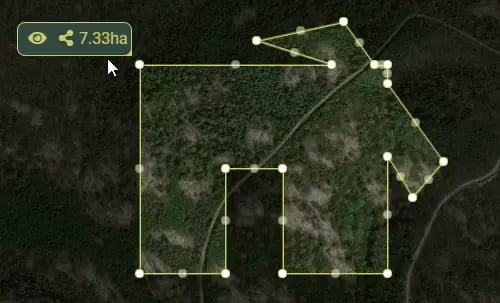
Powerful selectors
Cetopo lets you select your project-area in a familiar map-interface, using versatile selection tools. One-click select properties, or take your time refining the perfect selection using booleans and polygonal selectors.
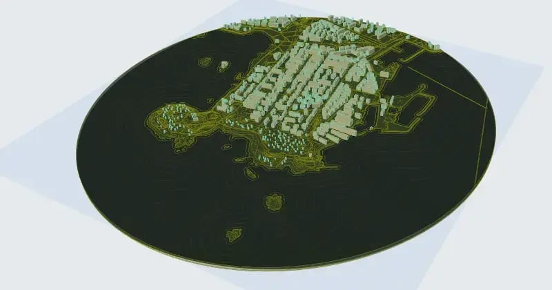
Fast preview
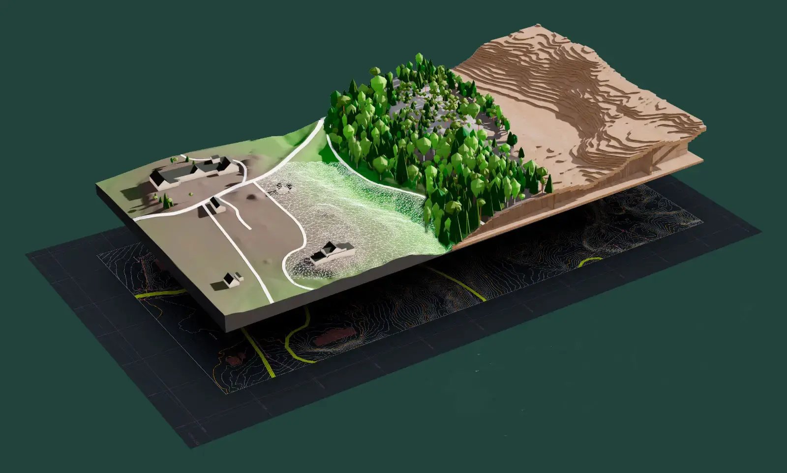
Cetopo can create an informative preview of your selection in seconds, directly visible in the browser! Save time by knowing what you will get. There is also a 3D-preview, also viewable in the browser, that lets you inspect the terrain, or how it would look laser-cut.
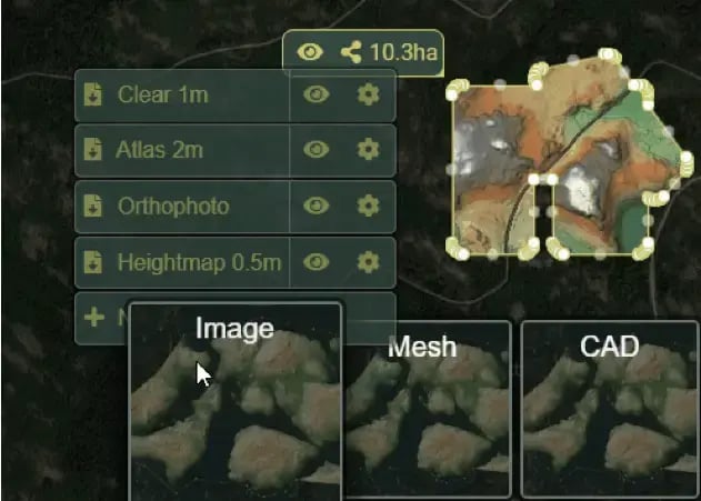
Extensive customization
Cetopo strives to reduce your workload. That is achieved by reducing the steps between what comes out from Cetopo, and what you end up using in your work. To this end, Cetopo provides extensive customization settings, so you can get exactly what you want. These settings can be saved for later re-use.
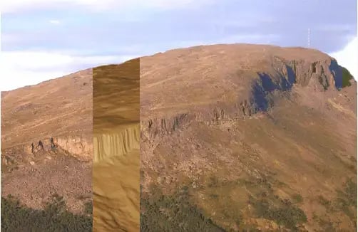
Accurate site models
Cetopo uses the accurate KM2 terrain model by the National Land Survey of Finland. The resolution of the data allows even ditches to be distinguished, and Cetopo makes it easy to use. In addition, Cetopo also provides access to optimized, huge maps using its custom optimization algorithm.
"We have found Cetopo useful in the early stages of our projects, as the ground-based tool provides greater precision for modelling and positioning roads and buildings. It also provides a good view of the surroundings, showing existing buildings and vegetation. Cetopo therefore enables us to get started with quick and relatively reliable sketches that take account of the site’s topography and surroundings."
.png?width=48&height=48&name=Jonas%20Waldemarson%20Arkitekt%20SARMSA%20Waldemarson%20Arkitekter%20(1).png)
Good to know
Wide compatibility
Cetopo provides files compatible with a wide array of software. Archicad is especially supported via a custom plugin, which enables unprecedented terrain models to be loaded directly into Archicad. The plugin lets you create light, extensive, and editable terrains with just a few clicks.
Free for students
Cetopo is completely free of charge for students. For schools Cetopo is available half-price.