Model the terrain, place the roads, calculate cut and fill in the same file as the building. Nordic BIM Group is the exclusive Architerra partner across Finland, Norway and Sweden.

Mechelininkatu 23
ArchicadArchitecture
Site work often runs outside the BIM model. Surveyor data lands in one tool, the terrain in another, the cut-and-fill quantities in a spreadsheet. When the design moves, the site moves with it on screen but not in the numbers. Architerra pulls terrain, roads, and volumes into the same Archicad file as the building, so the site and the design stay in step.
DXF, XYZ, SOSI, and SHAPE files sit in a folder, not in the design. The team rebuilds the site by hand every time the surveyor sends an update.
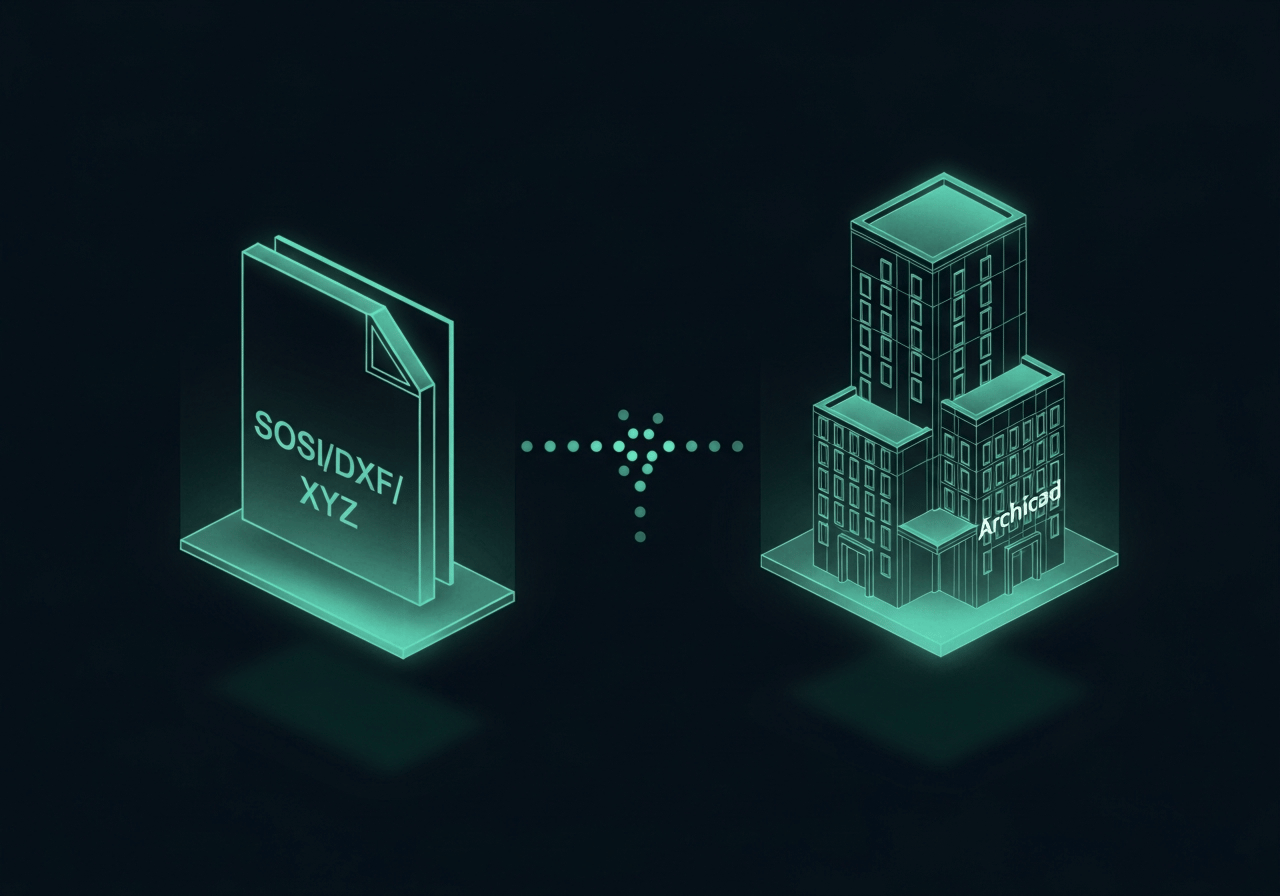
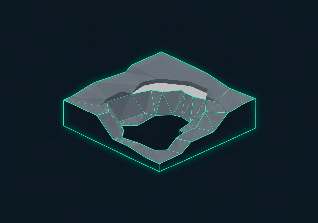
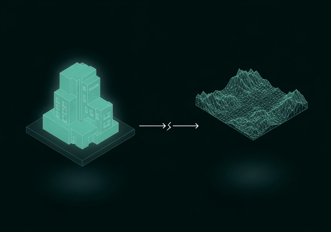
Generate the terrain model from real coordinates, then build on it. Contour lines, colour slope analysis, plateaus, roads, and ditches are all objects you establish on the model, and they live in the Archicad file.
Generate roads from polylines, then add the gradient and length profile that Finnish, Norwegian, and Swedish projects expect. The reference-line workflow keeps modifications to an existing road fast.
With plateaus, roads, and ditches established, Architerra calculates cut, fill, and mass balance from the terrain model. Contractors get the numbers without the spreadsheet handover.
SOSI, SHAPE, DXF, XYZ, and TXT come in as terrain, roads, plan data, or 3D objects, ready to use inside Archicad.
Architerra is for the team that owns the building and the site together. The work is rarely flat. Surveyor files, sloped plots, and earthwork quantities are part of the design, and they belong in the same model as the walls and the roof.
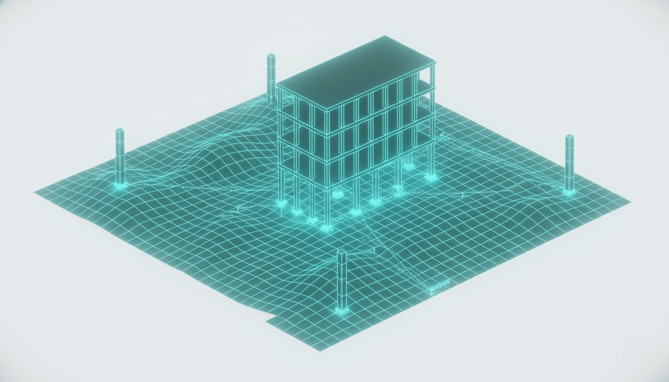
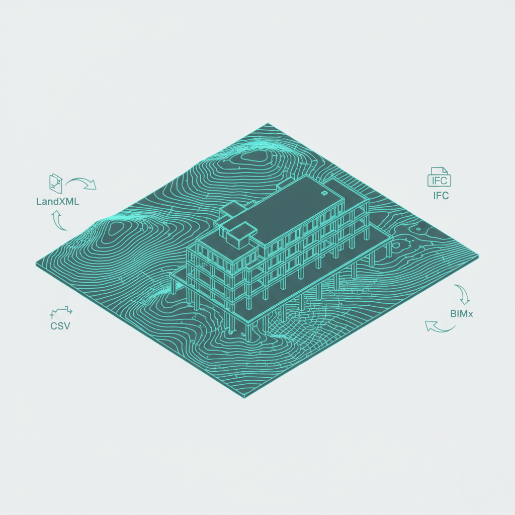
Architerra is an Archicad add-on. The terrain, the roads, and the mass calculations stay in the same Archicad file as the building. Surveyor and GIS data comes in through SOSI, SHAPE, DXF, XYZ, or TXT. The coordinated model goes out through IFC and BIMx.
Nordic BIM Group is the exclusive Archicad partner and the exclusive Architerra partner across Finland, Norway, and Sweden, which is why both licences, the implementation and the support sit on one local team and one local invoice.
We set Architerra up against your terrain data sources, your file conventions, and the way your team hands the site over to contractors.

A three-hour eLearning Architerra course gives the team a structured start.

When something blocks you, a local Nordic BIM Group support team picks up. Finnish, Norwegian, or Swedish, same timezone as the project.
Mechelininkatu 23

Tampere Art District
Architects across the Nordics are bringing terrain, roads, and earthwork into the BIM model. The roster is growing.