![nordicbim_logo.png]](https://www.nordicbim.com/hs-fs/hubfs/Imported%20images/nordicbim_logo.png?height=40&name=nordicbim_logo.png)
 ills. Agraff
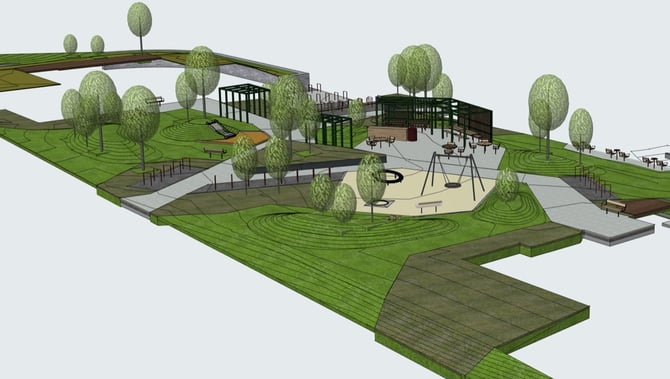
Land4 is an advanced and specialized tool developed for landscape architects, designers, and urban planners who work with the design and visualization of landscapes. The software is tailored to meet the unique needs of landscape design, offering a comprehensive toolbox that simplifies the process from concept development to finished project.
With Land4, landscape architects can efficiently model terrain, create detailed drawings, and generate realistic visualizations that provide a clear understanding of what a finished landscape will look like. The program supports the integration of SOSI files, which is the standard for geographic information in Norway, as well as Landxml. This makes it easier to work and collaborate with others.
One of the biggest advantages of Land4 is its intuitive user interface, which allows landscape architects to focus more on creativity and design, and less on technical challenges. The program also offers opportunities for dynamic analyses of sun, water currents, and vegetation, contributing to more sustainable and functional landscape solutions.
Through the use of Land4, landscape architects can achieve a higher degree of precision and efficiency in their projects, while also being able to present their ideas in an engaging and compelling way to clients and stakeholders. This tool is thus an invaluable resource for professionals who want to take their landscape projects to new heights.
Read more about BIM for landscape architects here.
NB! you must have basic knowledge of Archicad before you start (basic course or equivalent).